Hook N Line
Mesquite Bay to Lower San Antonio Bay Fishing Map
Mesquite Bay to Lower San Antonio Bay Fishing Map
Regular price
$25.99 USD
Regular price
Sale price
$25.99 USD
Unit price
per
Shipping calculated at checkout.
Couldn't load pickup availability
Free USA Shipping
-
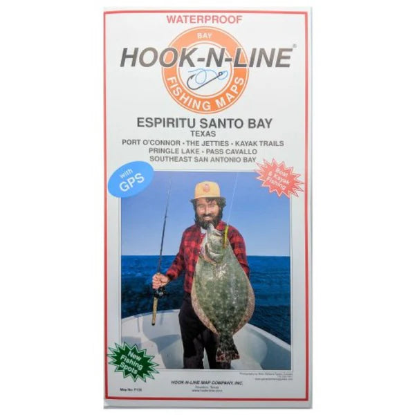
Hook-N-Line Boat Fishing Map F-135. An inshore saltwater two-sided fishing map of the large bay below Port O'Connor, Texas. The coverage area goes from Port O'Connor west to South San Antonio Bay. Map F135 details many reefs, wade fishing spots, and shallow backwater bays and bayous. The map has GPS numbers for fishing spots, marinas, boat ramps, and other locations.
- Type: Folded Map
- Subtype: Fishing
- Language: English
- Regions Covered: North America, Southern U.S.
- Countries Covered: United States
- States Covered: Texas
- MPN: F135
- Folded Size: 6.75" (W) x 13" (H)
- Unfolded Size: 25" (W) x 37.5" (H)
- Weight: 5 oz