Fish N Map
Boysen Reservoir Fishing Map
Boysen Reservoir Fishing Map
Regular price
$24.95 USD
Regular price
Sale price
$24.95 USD
Unit price
per
Shipping calculated at checkout.
Couldn't load pickup availability
Free USA Shipping
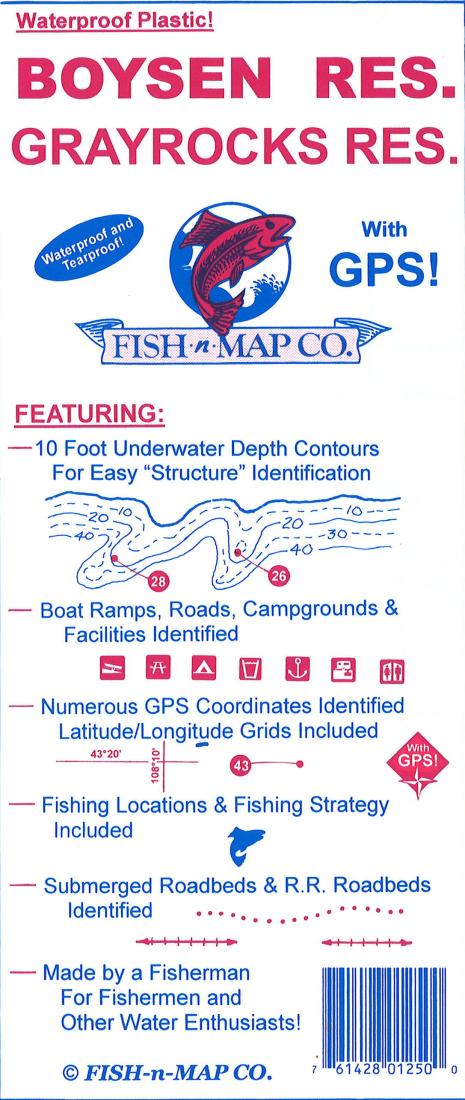
This Fish-N-Map Company underwater topography map is printed on waterproof, tear-resistant material and features 10' underwater depth contours, fish locations, latitude and longitude for GPS, boat ramps, recreational facilities, and much more.
Type: Folded Map
Subtype: Fishing
Language: English
Publication Date: 2016-06-01
Scale: 1:24,000
Regions Covered: North America, North-central U.S./Great Plains
Countries Covered: United States
States Covered: Wyoming
Folded Size: 3.94" (W) x 9.06" (H)
Unfolded Size: 35.83" (W) x 23.62" (H)
Weight: 3 oz