Captain Segulls
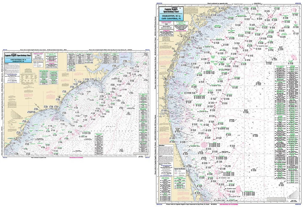
FL/GA/SC/NC Cape Hatteras, NC to Cape Canaveral-CHCC23 Large
FL/GA/SC/NC Cape Hatteras, NC to Cape Canaveral-CHCC23 Large
Regular price
$19.99 USD
Regular price
Sale price
$19.99 USD
Unit price
per
Shipping calculated at checkout.
Couldn't load pickup availability
FL/GA/SC/NC Atlantic Coast
|
|