Hook N Line
Gulf of Mexico-Miss. & E. Louisiana Fishing Map-F129
Gulf of Mexico-Miss. & E. Louisiana Fishing Map-F129
Regular price
$25.99 USD
Regular price
Sale price
$25.99 USD
Unit price
per
Shipping calculated at checkout.
Couldn't load pickup availability
Free USA Shipping
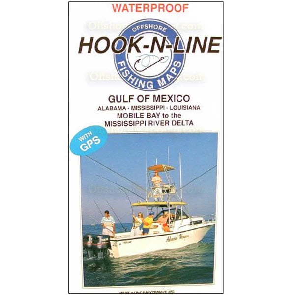
- Gulf of Mexico Offshore Fishing Map (with GPS) This two-sided offshore saltwater fishing map covers areas south of Alabama, Mississippi and the Mississippi River delta of Louisiana. The map shows latitude-longitude lines and oil lease blocks where the offshore platforms and wells are located. The reverse side of the map has a listing of hundreds of fishing locations with GPS coordinates, water depths and fish species caught there for different times of the year.
- Type: Folded Map
- Subtype: Fishing
- Language: English
- Regions Covered: North America, Southern U.S.
- Countries Covered: United States
- States Covered: Alabama, Louisiana, Mississippi
- MPN: F129
- Folded Size: 6.75" (W) x 13" (H)
- Unfolded Size: 25" (W) x 37.5" (H)
- Weight: 5 oz