Captain Segulls
Lousiana Mississippi River Approaches and Delta-MAD50 Large
Lousiana Mississippi River Approaches and Delta-MAD50 Large
Regular price
$19.99 USD
Regular price
Sale price
$19.99 USD
Unit price
per
Shipping calculated at checkout.
Couldn't load pickup availability
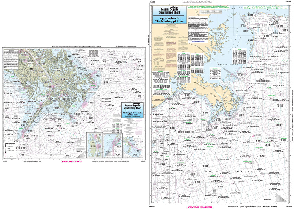
Louisiana Gulf Coast
Offshore chart, 90 - 100 miles on one side and nearshore 20 - 30 miles on other side. Chart is 19 x 26 inches, double sided, and laminated. Louisiana coastline
Covers the Mississippi River Approaches and the Mississippi River Delta. Details the mouth of the Mississippi River. All charts include wrecks, reefs, shoals, fishing areas, amenities and restrictions.Please refer to our nearshore, offshore and small boat/kayak charts in this area. Uses NOAA Chart 11361