Captain Segulls
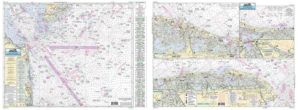
New Jersey South Coast of New Jersey-SNJ110 Large
New Jersey South Coast of New Jersey-SNJ110 Large
Regular price
$19.99 USD
Regular price
Sale price
$19.99 USD
Unit price
per
Shipping calculated at checkout.
Couldn't load pickup availability
New Jersey Atlantic Coast
|
|