Wilderness Adventure Press
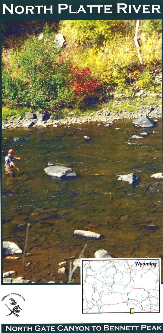
North Platte River: North Gate Canyon to Bennett Peak
North Platte River: North Gate Canyon to Bennett Peak
Regular price
$15.95 USD
Regular price
Sale price
$15.95 USD
Unit price
per
Shipping calculated at checkout.
Couldn't load pickup availability
Free USA Shipping
An essential tool for a successful fly-fishing trip is a detailed map of the water. This map will give you the access points, boat launches, campgrounds, public areas, roads, and GPS coordinates to pinpoint your location.
Type: Folded Map
Subtype: Fishing
Language: English
Publication Date: 2018-06-01
Scale: 1:63,360
Regions Covered: North America, North-central U.S./Great Plains
Countries Covered: United States
States Covered: Wyoming
Folded Size: 5.5" (W) x 11" (H)
Unfolded Size: 11" (W) x 17" (H)
Weight: .9 oz