Hook N Line
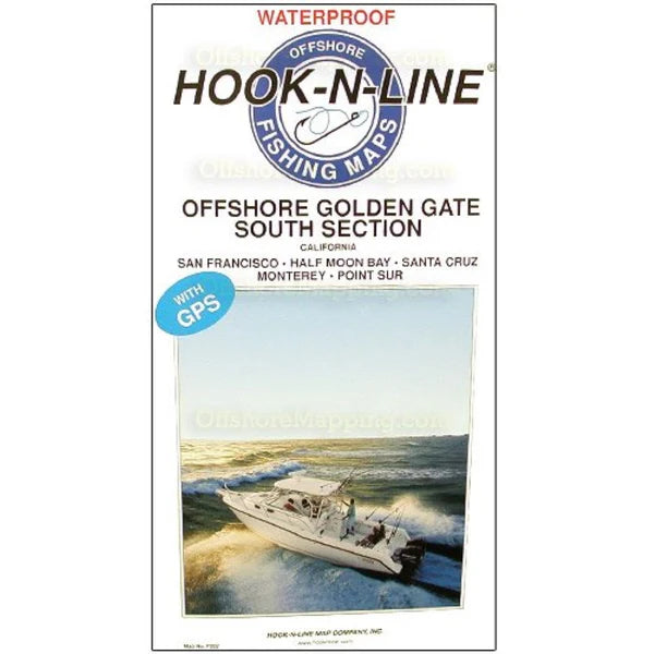
Offshore Golden Gate-South Section Fishing Map-F202
Offshore Golden Gate-South Section Fishing Map-F202
Regular price
$25.99 USD
Regular price
Sale price
$25.99 USD
Unit price
per
Shipping calculated at checkout.
Couldn't load pickup availability
Free USA Shipping
- Offshore Golden Gate - South Section (with GPS) This two-sided offshore saltwater fishing map covers the Pacific Ocean offshore of the Golden Gate from Point Sur at the south end to Point Reyes at the north end. The map shows latitude-longitude lines, depth contours, islands, sea mounts, underwater canyons and well-marked fishing locations. The reverse side of this map has listings for the fishing locations with GPS coordinates, water depths and fish species caught from different times of the year.
- Type: Folded Map
- Subtype: Fishing
- Language: English
- Regions Covered: North America, Western U.S.
- Countries Covered: United States
- States Covered: California
- MPN: F202
- Folded Size: 6.75" (W) x 13" (H)
- Unfolded Size: 25" (W) x 37.5" (H)
- Weight: 5 oz