Kingfisher Maps
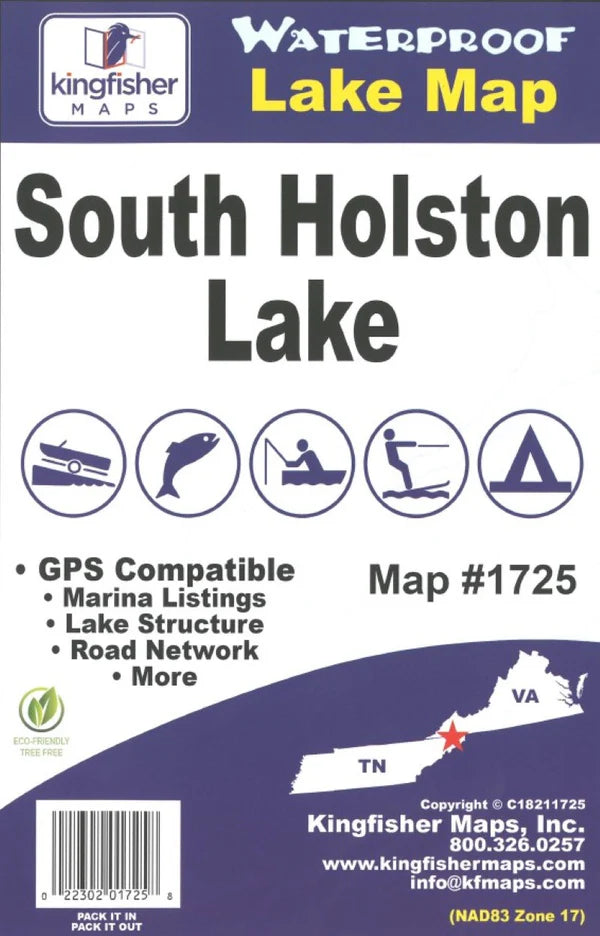
South Holston TN/VA Fishing Map-1725
South Holston TN/VA Fishing Map-1725
Regular price
$19.99 USD
Regular price
Sale price
$19.99 USD
Unit price
per
Shipping calculated at checkout.
Couldn't load pickup availability
Free USA Shipping
- Waterproof lake map of South Holston, TN/VA showing access areas, facilities, water hazards, and water depths at 20-foot contour intervals.
- Type: Folded Map
- Subtype: Fishing
- Language: English
- Scale: 1:26,000
- Regions Covered: North America, Southern U.S.
- Countries Covered: United States
- States Covered: Tennessee, Virginia
- MPN: 1725
- Folded Size: 9.5" (W) x 6.25" (H)
- Unfolded Size: 38.19" (W) x 25.2" (H)