Top Spot
Top Spot Fishing Map N227, Northeast Florida, South Georgia Offshore
Top Spot Fishing Map N227, Northeast Florida, South Georgia Offshore
Couldn't load pickup availability
Free USA Shipping
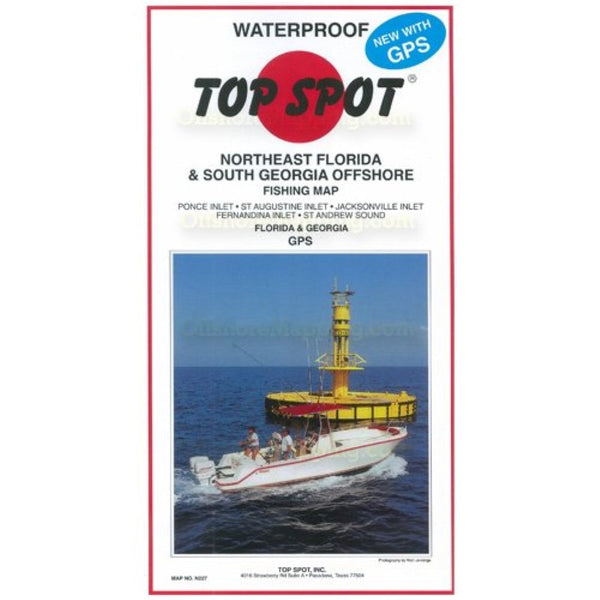
Northeast Florida and South Georgia Offshore. Top Spot Fishing Maps are waterproof and include best fishing times, the best habitats and underwater structure. Detailed information and GPS coordinates are provided for fishing locations, boat ramps, marinas and other points of interest. 2 sides, full color fishing and diving recreation map. Includes: Oak Hill, Florida to Cumberland, Georgia. St. Andrews Sound, Cumberland Island, St. Marys, Nassau Sound, Jacksonville, Palm Vally, St. Augustine, Palm Coast, Daytona Beach, Ponce Inlet, New Smyrna Beach.
Type: Folded Map
Subtype: Fishing
Language: English
Regions Covered: North America, Southern U.S.
Countries Covered: United States
States Covered: Florida, Georgia
MPN: N227
Folded Size: 6.75" (W) x 13" (H)
Unfolded Size: 25" (W) x 37.5" (H)
Weight: 5 oz