Top Spot
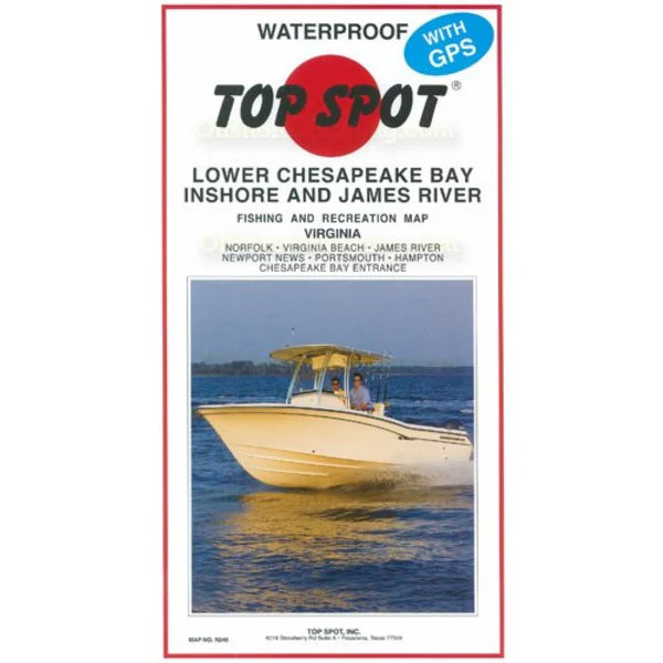
Top Spot Fishing Map N246, Virginia, Chesapeake Bay, James River Inshore
Top Spot Fishing Map N246, Virginia, Chesapeake Bay, James River Inshore
Regular price
$25.99 USD
Regular price
Sale price
$25.99 USD
Unit price
per
Shipping calculated at checkout.
Couldn't load pickup availability
Free USA Shipping
- Lower Chesapeake Bay Inshore and James River. Virginia. Top Spot Fishing Maps are waterproof and include best fishing times, the best habitats and underwater structure. Detailed information and GPS coordinates are provided for fishing locations, boat ramps, marinas and other points of interest. 2 sides, full color fishing and diving recreation map.
- Type: Folded Map
- Subtype: Fishing
- Language: English
- Regions Covered: North America, Southern U.S.
- Countries Covered: United States
- States Covered: Virginia
- MPN: N246
- Folded Size: 6.75" (W) x 13" (H)
- Unfolded Size: 25" (W) x 37.5" (H)
- Weight: 5 oz